Maps
|
|
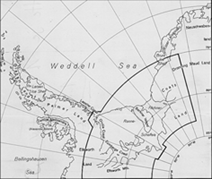
A series of detailed maps of the Filchner-Ronne-Schelfeis was published by the Institut für Angewandte Geodäsie (IfAG) in 1992/1993 where Jorn Sievers was the leading scientist for an international group from the United Kingdom, Russia, Germany, and Norway. British Antarctic Survey, Cambridge, U.K., has published a series of Antarctic maps, many of them in the in the Weddell Sea sector. Most of these maps are still available. The BEDMAP database describes the thickness of the entire Antarctic ice sheet collected on surveys undertaken over the past 50 years. Bundesamt für Kartographie und Geodäsie (BKG) published a list of German geographical names.
|
